NO.PZ2022120703000077
问题如下:
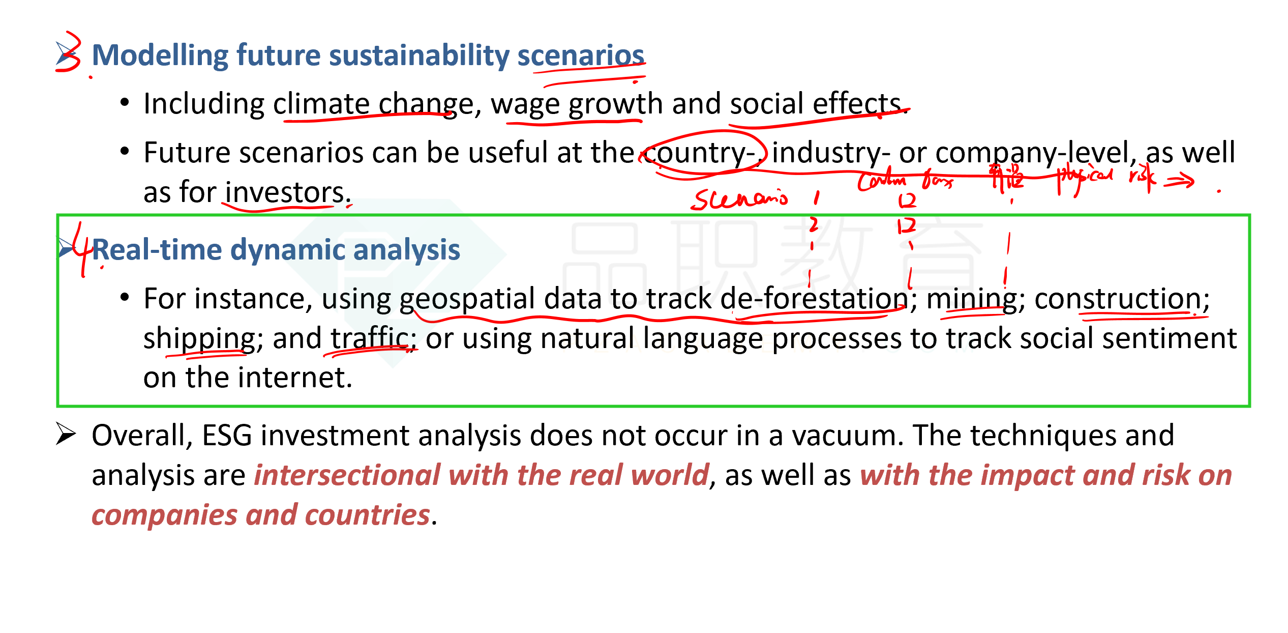
Using geospatial data to track deforestation is best described as an example of:
选项:
A.big data analysis.
B.real-time dynamic analysis.
C.resource, supply, and operational risk mitigation.
解释:
B is correct because "the analysis at the frontiers of data science is being extended to real-time analysis. For instance: using geospatial data to track de-forestation; mining; construction; shipping; and traffic; or using natural language processes to track social sentiment on the internet."
A is incorrect because big data analysis is described as "ESG data sets ... being used by algorithms and natural language processes to determine company quality, reputational risk and many forward-looking aspects of business strength and valuation."
C is incorrect because "assessment here is not only at a company level, but can be carried out at a systems or sector level. This would include assessments of supply chain risk (e.g. from forced labour or supply constraints) or policy changes (e.g. on carbon pricing or water usage)."
这道题什么意思考的什么知识点


